Extreme rainfall could leave Dutch cities under meters of water for days |
|
|
|
|
 |
| 94 sec |
Vulnerable areas mapped out
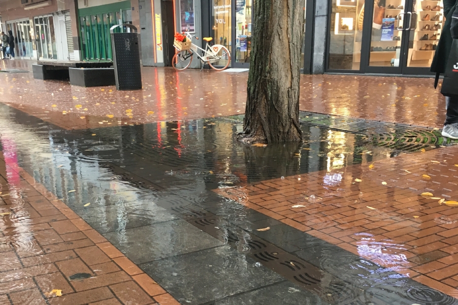
In the event of exceptionally heavy rainfall, parts of cities including Maastricht, Nijmegen, Zwolle, Amsterdam and several towns in Brabant could be submerged under meters of water for days. This is shown in a new nationwide water model by research institute Deltares, commissioned by the Ministry of Infrastructure and Water Management. The maps identify where deep and long-lasting flooding could occur during extreme rainfall. "This is a first step in making vulnerable locations visible," wrote Minister Tieman in a letter](https://open.overheid.nl/documenten/8c03387e-ad45-42ba-8473-3860613a0339/file]letter) to Parliament.
 |
The study is based on a scenario of 200 millimetres of rain falling within 48 hours, similar to the downpours that hit Limburg in 2021. By applying the same rainfall everywhere, the results are comparable across the country. The stress tests show where water remains for long periods, where it reaches greater depths, and where flow rates are high. Transitional areas between higher and lower parts of the Netherlands appear especially vulnerable, such as around Eindhoven, Deventer and Doetinchem. In these areas, water depths of one to two metres may occur.
|
|
The study is based on a scenario of 200 millimetres of rain falling within 48 hours, similar to the downpours that hit Limburg in 2021.
| |
|
Polders and urban bottlenecks
Polders in Noord-Holland, Friesland and the western part of Utrecht are also at risk. There, water tends to remain longer because it can only be drained by pumping. When multiple polders are overloaded at once, the main drainage systems can become congested, causing weeks of disruption. Bridges, sluices and buildings along waterways can worsen the situation. "Some built-up areas are particularly vulnerable because they are located along waterways with insufficient discharge capacity during such extreme rainfall events," Deltares reports.
Important for housing development
The findings are also relevant for future housing development. The Ministry of Housing, Spatial Planning and the Environment stresses the importance of considering flood risks when selecting new building sites. "It is essential that decisions on precise locations take into account the risk of waterlogging," the report states.
|
|
When multiple polders are overloaded at once, the main drainage systems can become congested, causing weeks of disruption.
| |
|
Increasing resilience
The Deltares data form the basis for the National](https://www.rijksoverheid.nl/documenten/rapporten/2022/03/18/bijlage-nationaal-water-programma-2022-2027]National) Flood Management Approach, which will be presented to Parliament in 2026, and the National](https://klimaatadaptatienederland.nl/beleid/nationale-aanpak/nas/]National) Climate Adaptation Strategy. Provinces, water authorities and vital sectors are working on risk assessments and a national decision framework. Minister Tieman stated: "We cannot always prevent flooding, but we can prepare for it better."
|
|
Transitional areas between higher and lower parts of the Netherlands appear especially vulnerable.
| |
|
") | | National water model (Image: Deltares) |
|
|
This article was originally published on 3 November 2025 on the website](https://www.stad-en-groen.nl/article/51850/extreme-regen-kan-nederlandse-steden-dagenlang-metersdiep-onder-water-zetten]website) of Stad + Groen.
| Provincie Frysl�n Friesla... | |
| |
| LOG IN
with your email address to respond.
|
|
|
| There are no comments yet. |
|
| |
Anyone can place small ads for free through their own account.
Place a free ad
|
|
|
|


